Shifting Shores
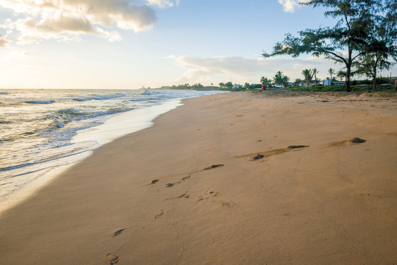
Kekaha Beach and its golden bank meets with the greenish-gray granules of Waimea River in a movement earth scientist Chuck Blay credits to wave dynamics.
What exactly is sand? Seems like an easy question, but the answer might surprise you.
“Almost nobody knows how to define it except sedimentologists,” says Chuck Blay, an earth scientist who specializes in the study of sediments.
Sand is actually defined according to size, and includes particles of any composition that range from 1/16 to 2 millimeters — a classification that lies between mud (silt and clay) and gravel.
“Sand is a textual term,” says Blay while sifting through a handful of sediment at Kekaha Beach.
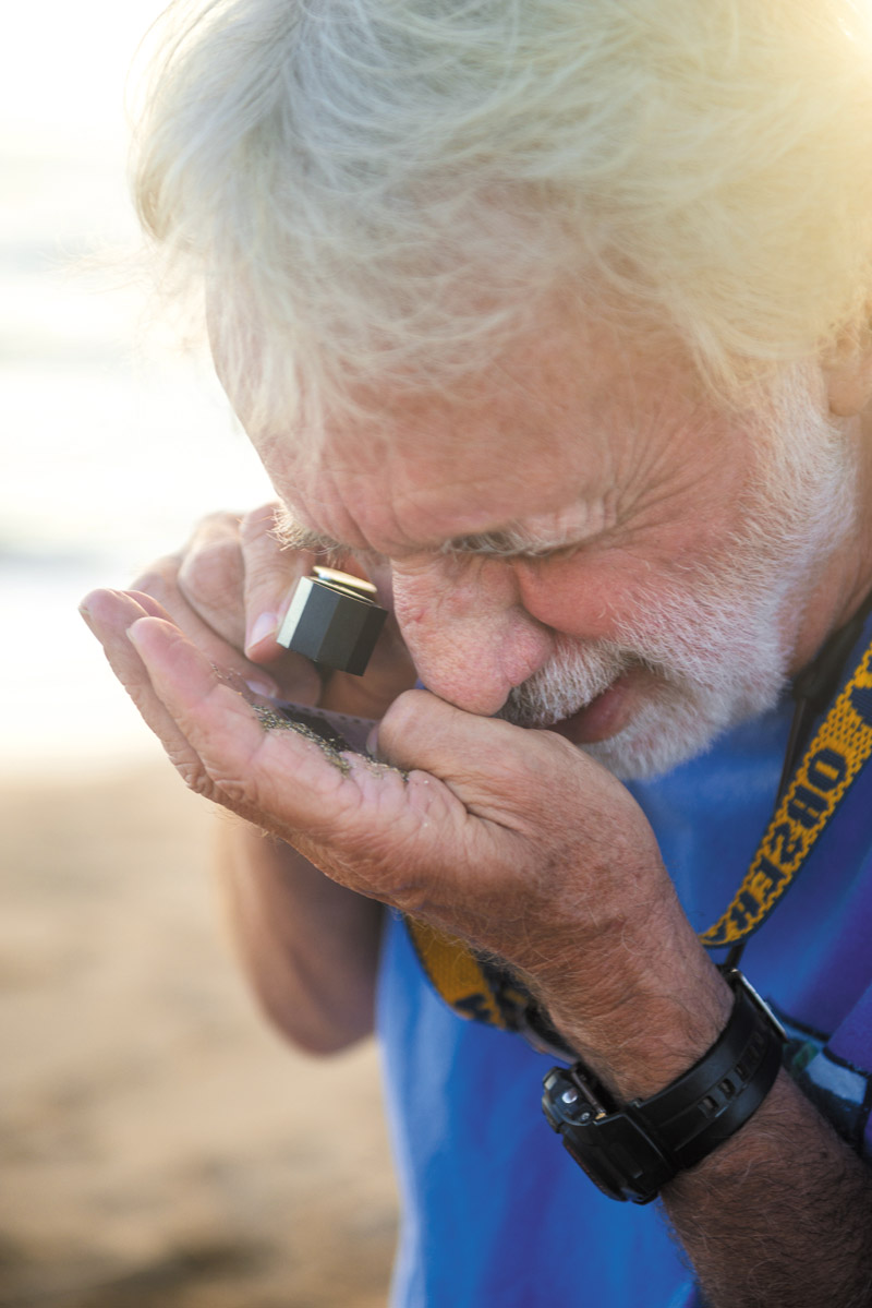
Chuck Blay has been studying sand fl uctuations on Kaua‘i coasts for decades.
This is one of many interesting facts Blay loves chatting about. He has a particular affinity for Kaua‘i. He once trekked almost the entire perimeter of the island in 1986 so that he could map its shoreline features.
The Garden Isle is around 5 million years old, and is the most geologically evolved of the main Hawaiian Islands, with 47 percent of its perimeter consisting of sandy shorelines, as opposed to Hawai‘i Island’s approximately 5 percent granular perimeter.
“I just love discovering how things work in nature, and beaches are so tough to figure out because they’re so mobile,” he says.
This is especially the case in a place like Hawai‘i, as some of the biggest waves in the world converge onto the shores with nothing to slow them down.
That’s why he’s chosen to meet for a Kaua‘i Midweek interview at Kekaha Beach across the street from St. Theresa Catholic School, where it’s easy to see a live demonstration of that phenomenon.
This strip of beach is where you can clearly see the transition of greenish-grey volcanic sand from Waimea River to “traditional” yellow sand, made of skeletal fragments of coralline algae, coral, clams and snails, that extends all the way to Polihale Beach. During winter, when big waves pound the North Shore in Hā‘ena, the reef breaks into sand, and the strong currents carry it along the Nā Pali Coast and dump it into a big basin offshore of Polihale Beach.
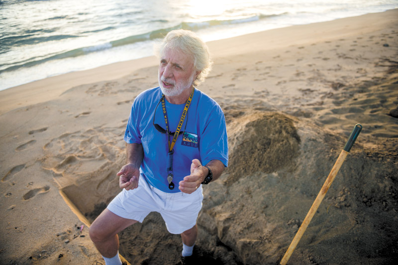
Sedimentologist Chuck Blay spends a good portion of his time in the sandy trenches researching sediments.
This sand is carried all the way down to Kekaha Beach. However, a nearby broad shallow reef platform at Ō‘ōmanō Point sticks out and blocks the movement of the yellow sand from going any farther toward Waimea, and prevents Waimea sand from moving toward Kekaha.
He can visit this specific area any time of year and get a good idea about what’s happening at Kekaha and Waimea. During the winter, when big swells dominate the North Shore, the yellow sand of Kekaha builds up and moves toward the east. When south shore swells come into effect, it pushes the sand back along the shore toward the west and north.
A dramatic demonstration of this happened in 2012, when the large beach at MacArthur Park eroded all the way back to the highway, and the missing sand was pushed to shore at the Pacific Missile Range Facility during the summer.
But once winter returned, so did the sand. Despite rumors that the cause of this phenomenon was Kīkīaola Boat Harbor, years of extensive research conducted by Blay proved it was just a natural part of the dynamic system.
“Beaches are the most mobile ecosystem on the planet,” says Blay.
Geologist Chuck Blay turns the beaches he visits into temporary “offices,” as he conducts his sand research.
The site used to be able to accommodate 40 boats, but now can only contain about four.
The breakwater that extends seaward from the beach, he says, is like “putting a dam in a river.” Without the harbor, which was constructed in 1960, sand from the Waimea River mouth would move down the coast in longshore currents.
The harbor structure, however, blocks the sediment from moving in that direction. The rate of erosion — exacerbated because the beach is blocked and the sand is not being replenished — is about 3 to 4 feet annually.
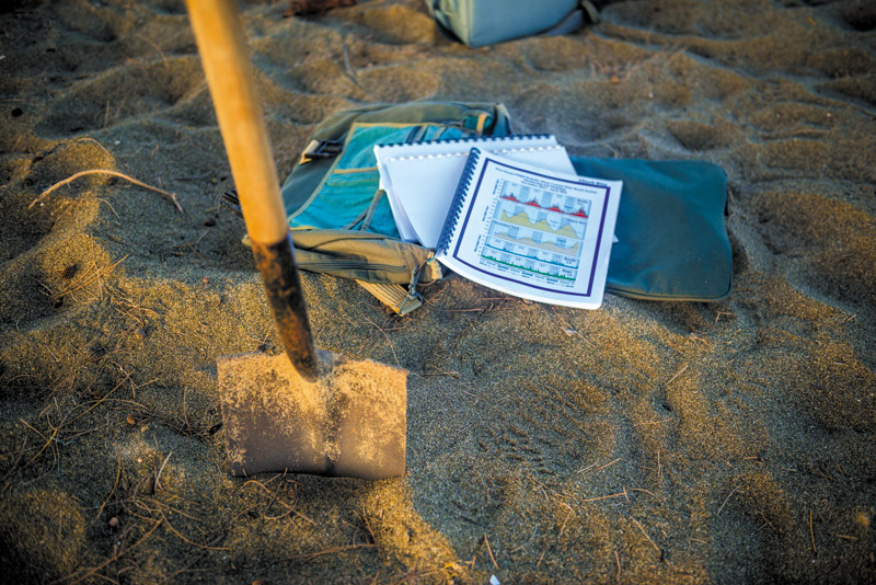
He spends so much time with these studies — it takes at least two years to make conclusions of this nature — because the information can be used in beneficial ways, such as a predictive tool regarding setbacks for construction along shorelines.
“I just love the scientific method and processing data in an organized objective manner,” says Blay. “I like discovering the truth. You can’t just dream it. I don’t believe in magic; there’s a reason for everything and discovering what that is, to me, is fascinating.”
Visit teok.com for more information.